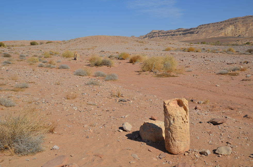
On our trips of the desert, we usually find that the National Park Authority has explanations at places of interest. But, driving down the Noah Ascent:
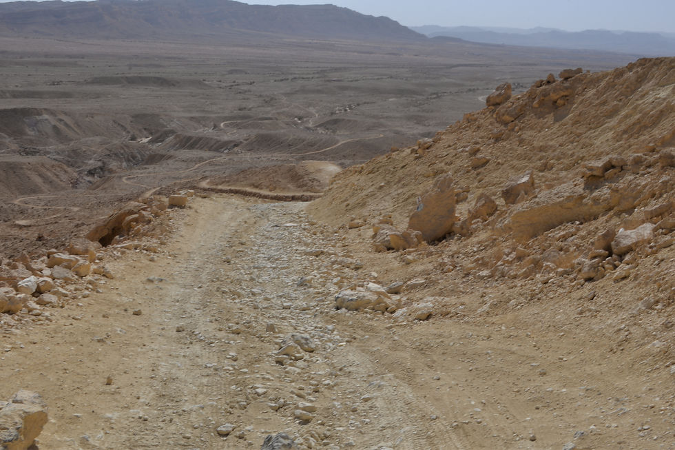
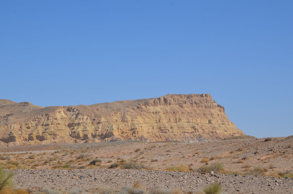
under Ardon Mountain (772 meters above sea level)
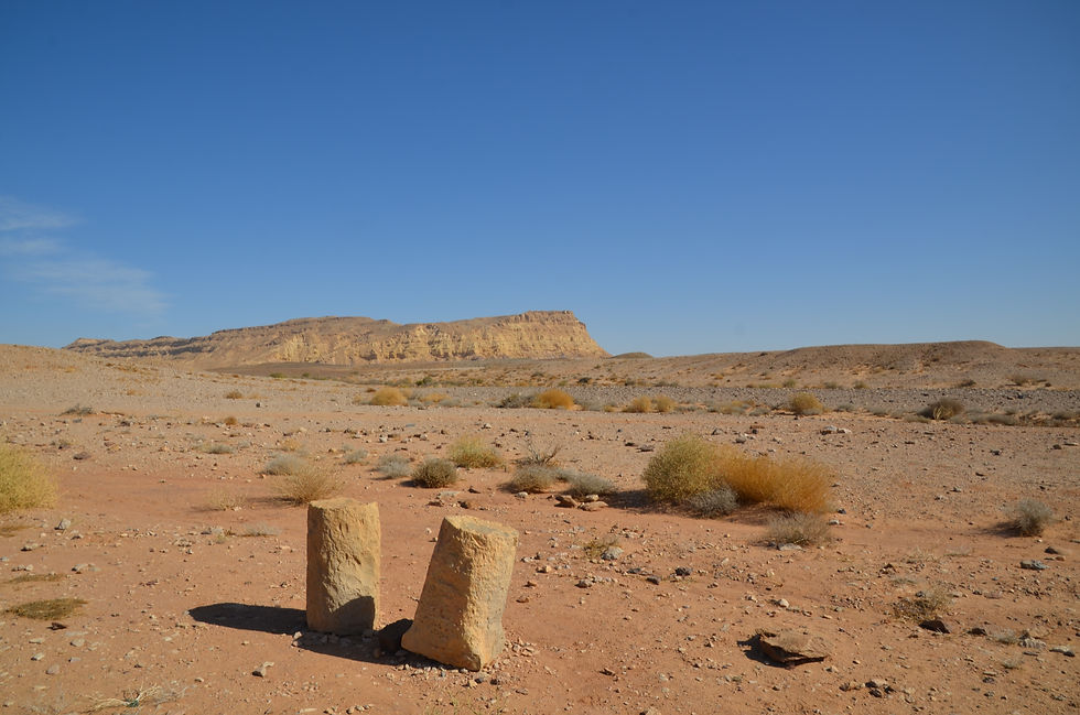
Roman Mile stone near Mt Ardon

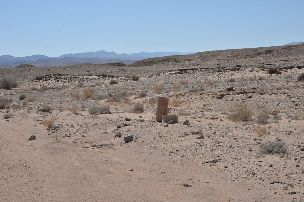
Driving to the Roman Milestones in the north eastern part of the Mahktesh Ramon, it was strange there was no explanation at all, just the sign saying: that way.

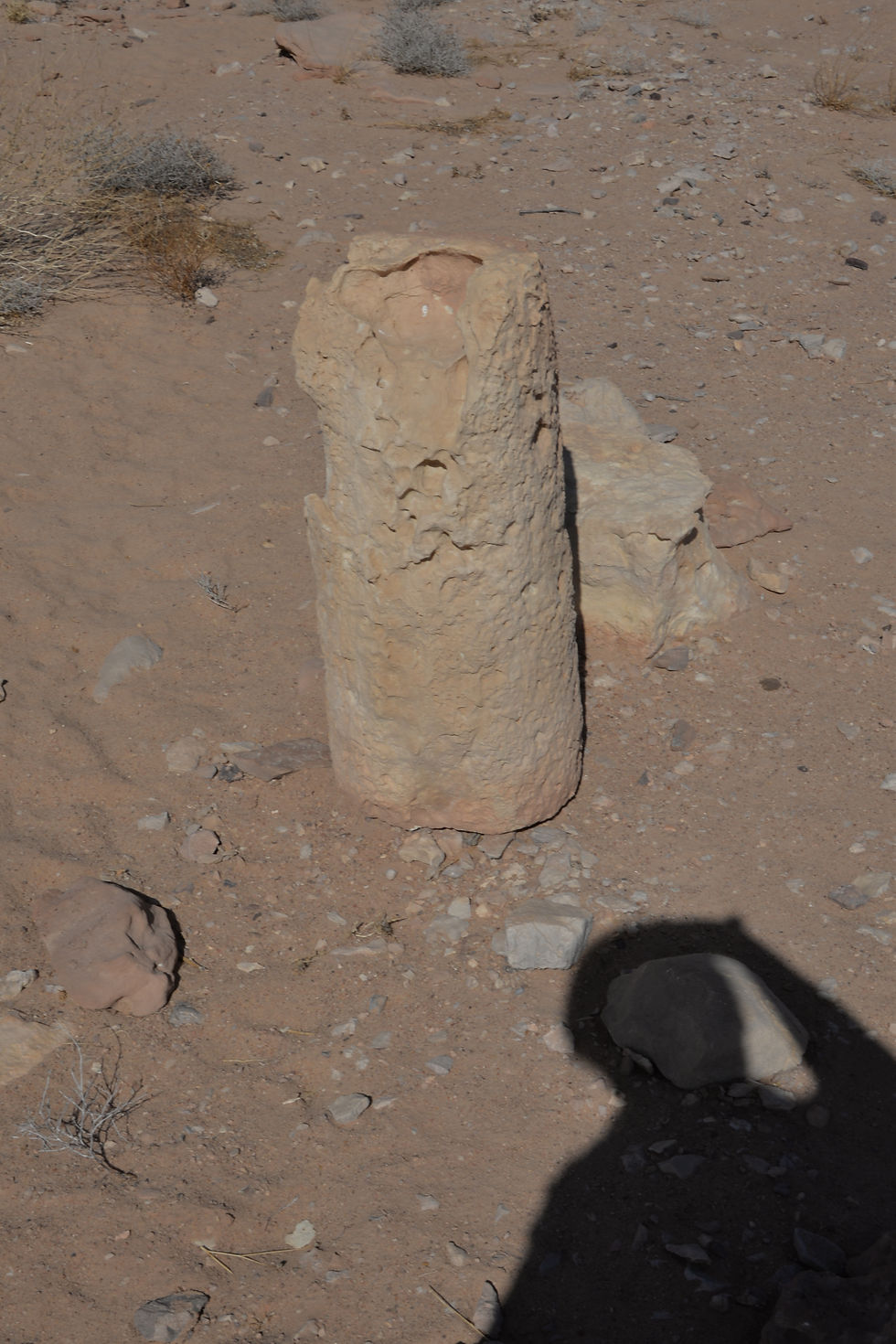
Walking about 300 meters from the parking lot we did find a couple of stones. But the lack of information bothered me, so I look it up.

What is a Roman milestone? why are they located in the middle of the Negev? Searching the internet, I found a very interesting story to tell.
The history of Roman roads:
It seems obvious that ancient Romans in order to control conquered areas needed good roads to allow fast movement of their armies. In year 449 BC the rights and duties of Roman citizens had been laid out in the Twelve Tables put on display at the Forum; in Table 7 clear descriptions outlined on how to build roads, exactly how wide, how deep the sand and gravel, how to drain rain water and on top stones (it seems surprisingly advanced). When the Roman Empire stretched from Scotland to Egypt including today’s Israel, they had established about 400,000 km of roads, of them 80,000 km were paved with stones (strata), what we today would call highways. Along the roads they put mile stones revealing the distance from Rome, hence the saying “all roads lead to Rome”. The Roman Road system should be considered one of their greatest achievements, as most of these roads are still in use today, although the stones have been covered with asphalt, as is our modern custom.
In Israel of then, there was about 1500 km of Roman Roads, as can be seen on the Peutingeriana map. In 2018 working on highway 373, they discovered a forgotten 1.5 km long, 2000 years old Roman road going between Beit Shemesh and Beit Guvrin.
Roman milestones:
Along the Roman roads they put mile stones so a traveler or the army could tell how far they were from the beginning of the road; in Israel the starting point was not Rome, but the distance from the port, or from Damascus or from Jerusalem. On some mile stones in Latin was written who had built the road (paid for it) or repaired it. A Roman mile was the distance a Roman soldier walked one thousand double steps (mille passum, MP); that distance is 1.480 meter, so every Roman mile they put a mile stone. In Israel about 650 milestones have been identified, some have writings, others do not.
In the Negev:
When the Romans invaded what is today Israel (year 63 BC) that did not include the Negev, where the Nabataean tribes crossed with their camel caravans, bringing valuables from Petra to the ports of the Mediterranean Sea (the Incense Road); a distance that took five days travelling with loaded camels.
In year 106 AD when the Nabatean king Rabbel II Sotter died, the Romans (emperor Trajan) annexed the Nabataean Kingdom as Arabia Petraea with Petra as the capital. The Romans took over their trade routes and true to their tradition, they needed Roman roads and erected Roman Mile stones along them, as can be seen at Ma’ale Akrabim.
The Roman Milestone in Mahktesh Ramon were apparently moved to here from somewhere else and they do not bear inscriptions. Here the lack of explanation is disturbing.
Of interest is an article in ‘Teva Hadvarim’ (טבע הדברים) from May 2018, they describe an interesting adventure undertaken in February 2018 by scholars, historians, tourist people and tour guides walking for five days with two camels in the steps of the ancient Nabataean caravans; they started in Petra and continued into the Arava, and passed through the Ramon Mahktesh; on the northern side of the Mahktesh they found 17 unknown Roman Mile stones, placed 1 Roman mile apart, as history taught us, thereby identifying the way of the ancients.
To my knowledge that site is not yet open to ordinary tourists like myself, but I hope in the future it will be possible and very interesting to see with explanations.
Comments